 NOAA weather near waypoint
or
wunderground
NOAA weather near waypoint
or
wunderground
| WGS84 | |
| 36.427601 | -84.644805 |
| 36° 25.656'N | 84° 38.688'W |
| 36° 25' 39.4"N | 84° 38' 41.3"W |
| 16S 711134E 4033955N | |
| convert to NAD27 | |
MAPS
Select one of the following maps to display this waypoint (WGS84).
NOAA weather near waypoint
or
wunderground
GPS
Remarks:
Honey Creek trail, wet-weather falls
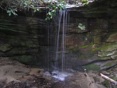
Chuck Sutherland photo