 NOAA weather near waypoint
or
wunderground
NOAA weather near waypoint
or
wunderground
| WGS84 | |
| 36.427275 | -84.655700 |
| 36° 25.637'N | 84° 39.342'W |
| 36° 25' 38.2"N | 84° 39' 20.5"W |
| 16S 710158E 4033895N | |
| convert to NAD27 | |
MAPS
Select one of the following maps to display this waypoint (WGS84).
NOAA weather near waypoint
or
wunderground
GPS
Remarks:
Honey Creek trail
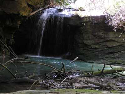
Chuck Sutherland photo