 NOAA weather near waypoint
or
wunderground
NOAA weather near waypoint
or
wunderground
| WGS84 | |
| 36.468330 | -84.660630 |
| 36° 28.1'N | 84° 39.638'W |
| 36° 28' 6"N | 84° 39' 38.3"W |
| 16S 709605E 4038439N | |
| convert to NAD27 | |
MAPS
Select one of the following maps to display this waypoint (WGS84).
NOAA weather near waypoint
or
wunderground
GPS
Remarks:
Reference and photo: Ben Garrett
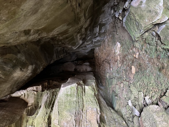
75' deep crevice, off-trail