NOAA weather near waypoint
or
wunderground
NOAA weather near waypoint
or
wunderground
| WGS84 | |
| 36.572259 | -84.675891 |
| 36° 34.336'N | 84° 40.553'W |
| 36° 34' 20.2"N | 84° 40' 33.2"W |
| 16S 707959E 4049937N | |
| Location uncertain. | |
| convert to NAD27 | |
MAPS
Select one of the following maps to display this waypoint (WGS84).
NOAA weather near waypoint
or
wunderground
GPS
Remarks:
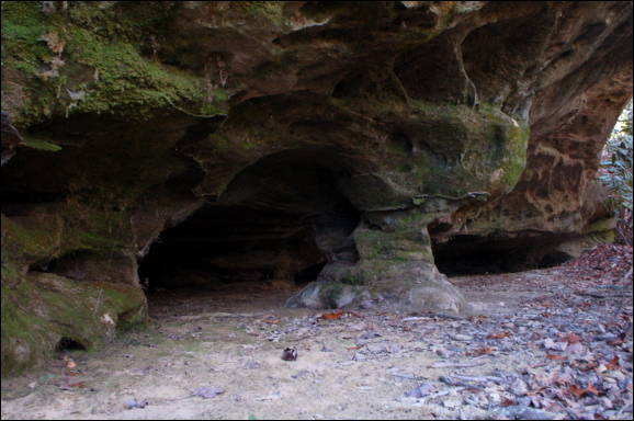
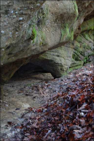
Reference and photos: Fife brothers
four openings