NOAA weather near waypoint
or
wunderground
NOAA weather near waypoint
or
wunderground
| WGS84 | |
| 36.580393 | -84.685654 |
| 36° 34.824'N | 84° 41.139'W |
| 36° 34' 49.4"N | 84° 41' 8.3"W |
| 16S 707064E 4050819N | |
| Location uncertain. | |
| convert to NAD27 | |
MAPS
Select one of the following maps to display this waypoint (WGS84).
NOAA weather near waypoint
or
wunderground
GPS
Remarks:
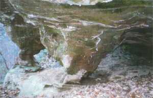
Reference/photo: Vic Fife
Two squat arches near base of cliff