NOAA weather near waypoint
or
wunderground
NOAA weather near waypoint
or
wunderground
| WGS84 | |
| 36.385100 | -84.648600 |
| 36° 23.106'N | 84° 38.916'W |
| 36° 23' 6.4"N | 84° 38' 55"W |
| 16S 710909E 4029231N | |
| convert to NAD27 | |
MAPS
Select one of the following maps to display this waypoint (WGS84).
NOAA weather near waypoint
or
wunderground
GPS
Remarks:
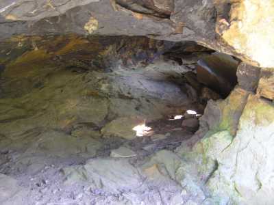
small column arch along Burnt Mill Loop trail