 NOAA weather near waypoint
or
wunderground
NOAA weather near waypoint
or
wunderground
| WGS84 | |
| 36.432480 | -84.657100 |
| 36° 25.949'N | 84° 39.426'W |
| 36° 25' 56.9"N | 84° 39' 25.6"W |
| 16S 710018E 4034469N | |
| convert to NAD27 | |
MAPS
Select one of the following maps to display this waypoint (WGS84).
NOAA weather near waypoint
or
wunderground
GPS
Remarks:
low span along Honey Creek trail
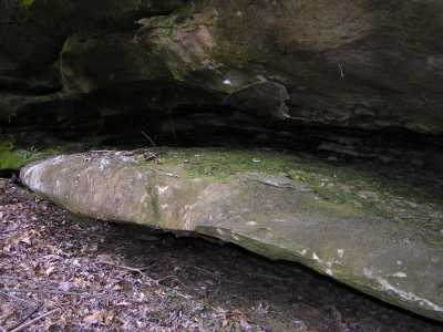
There are also several rock passageways (fat-man squeeze) along the trail, formed from the fallen caprock.