NOAA weather near waypoint
or
wunderground
NOAA weather near waypoint
or
wunderground
| WGS84 | |
| 36.546070 | -84.738360 |
| 36° 32.764'N | 84° 44.302'W |
| 36° 32' 45.8"N | 84° 44' 18.1"W |
| 16S 702437E 4046898N | |
| convert to NAD27 | |
MAPS
Select one of the following maps to display this waypoint (WGS84).
NOAA weather near waypoint
or
wunderground
GPS
Remarks:
Reference: team Fife
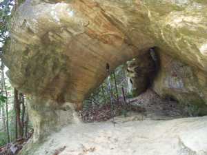
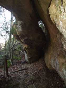
Both a column arch and a span on the upper part of the bluff. off-trail Also known as Ice Castle arch.