 NOAA weather near waypoint
or
wunderground
NOAA weather near waypoint
or
wunderground
| WGS84 | |
| 36.452700 | -84.669300 |
| 36° 27.162'N | 84° 40.158'W |
| 36° 27' 9.7"N | 84° 40' 9.5"W |
| 16S 708870E 4036686N | |
| convert to NAD27 | |
MAPS
Select one of the following maps to display this waypoint (WGS84).
NOAA weather near waypoint
or
wunderground
GPS
Remarks:
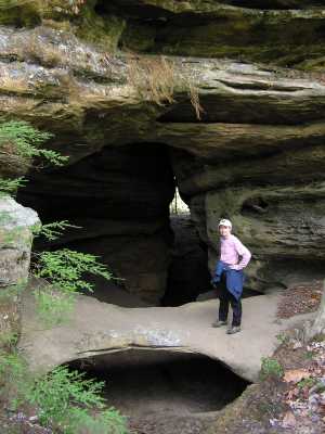
Reference: Keith Garnes
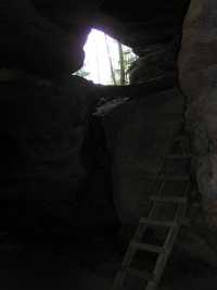
An arch inside a long (150') tunnel. Also known as Hole in the Ridge. GPS track and another and locale trail map

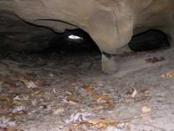 small tunnel under arch span
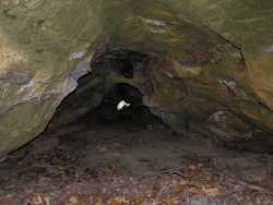 small tunnel just east along the bluff