NOAA weather near waypoint
or
wunderground
NOAA weather near waypoint
or
wunderground
| WGS84 | |
| 36.564600 | -84.651400 |
| 36° 33.876'N | 84° 39.084'W |
| 36° 33' 52.6"N | 84° 39' 5"W |
| 16S 710172E 4049141N | |
| convert to NAD27 | |
MAPS
Select one of the following maps to display this waypoint (WGS84).
NOAA weather near waypoint
or
wunderground
GPS
Remarks:
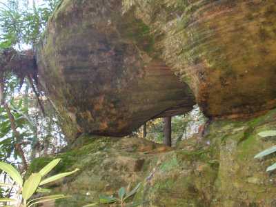
Reference: Tom Des Jean
Other arches along same bluff line include Stepthru and Lookup Arch. off-trail