 NOAA weather near waypoint
or
wunderground
NOAA weather near waypoint
or
wunderground
| WGS84 | |
| 36.533000 | -84.742550 |
| 36° 31.98'N | 84° 44.553'W |
| 36° 31' 58.8"N | 84° 44' 33.2"W |
| 16S 702096E 4045439N | |
| convert to NAD27 | |
MAPS
Select one of the following maps to display this waypoint (WGS84).
NOAA weather near waypoint
or
wunderground
GPS
Remarks:
off-trail
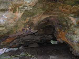
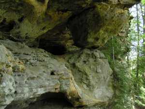 4x3 column arch high on the cliff wall