 NOAA weather near waypoint
or
wunderground
NOAA weather near waypoint
or
wunderground
| WGS84 | |
| 36.531160 | -84.745000 |
| 36° 31.87'N | 84° 44.7'W |
| 36° 31' 52.2"N | 84° 44' 42"W |
| 16S 701881E 4045230N | |
| convert to NAD27 | |
MAPS
Select one of the following maps to display this waypoint (WGS84).
NOAA weather near waypoint
or
wunderground
GPS
Remarks:
Reference: Tom Des Jean (MTSU summer interns w/ GPS, 2003)
off-trail
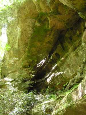

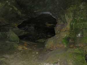 small column arch on the mezzanine