 NOAA weather near waypoint
or
wunderground
NOAA weather near waypoint
or
wunderground
| WGS84 | |
| 36.528040 | -84.756000 |
| 36° 31.682'N | 84° 45.36'W |
| 36° 31' 40.9"N | 84° 45' 21.6"W |
| 16S 700905E 4044861N | |
| convert to NAD27 | |
MAPS
Select one of the following maps to display this waypoint (WGS84).
NOAA weather near waypoint
or
wunderground
GPS
Remarks:
Reference: Des Jean summer students
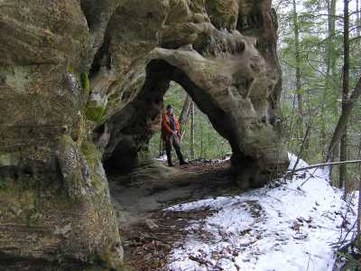
off-trail, upper bluff line
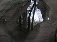
 cathedral windows
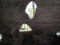