 NOAA weather near waypoint
or
wunderground
NOAA weather near waypoint
or
wunderground
| WGS84 | |
| 36.773145 | -84.525055 |
| 36° 46.389'N | 84° 31.503'W |
| 36° 46' 23.3"N | 84° 31' 30.2"W |
| 16S 720883E 4072564N | |
| convert to NAD27 | |
MAPS
Select one of the following maps to display this waypoint (WGS84).
NOAA weather near waypoint
or
wunderground
GPS
Remarks:
Reference and photo: Chad Harrold
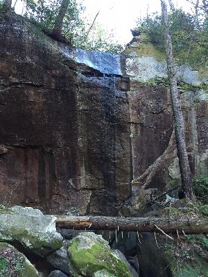 wet-weather