NOAA weather near waypoint
or
wunderground
NOAA weather near waypoint
or
wunderground
| WGS84 | |
| 36.671720 | -84.530737 |
| 36° 40.303'N | 84° 31.844'W |
| 36° 40' 18.2"N | 84° 31' 50.6"W |
| 16S 720666E 4061297N | |
| convert to NAD27 | |
MAPS
Select one of the following maps to display this waypoint (WGS84).
NOAA weather near waypoint
or
wunderground
GPS
Remarks:
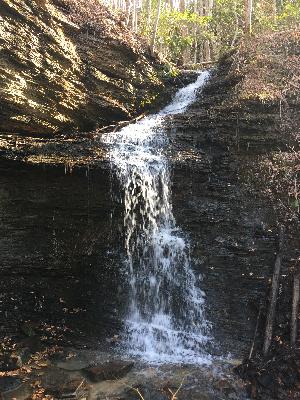
Reference and photo: Chad Harrold