NOAA weather near waypoint
or
wunderground
NOAA weather near waypoint
or
wunderground
| WGS84 | |
| 36.673601 | -84.534973 |
| 36° 40.416'N | 84° 32.098'W |
| 36° 40' 25"N | 84° 32' 5.9"W |
| 16S 720282E 4061496N | |
| convert to NAD27 | |
MAPS
Select one of the following maps to display this waypoint (WGS84).
NOAA weather near waypoint
or
wunderground
GPS
Remarks:
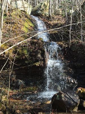
Reference and photo: Chad Harrold