NOAA weather near waypoint
or
wunderground
NOAA weather near waypoint
or
wunderground
| WGS84 | |
| 36.771900 | -84.519500 |
| 36° 46.314'N | 84° 31.17'W |
| 36° 46' 18.8"N | 84° 31' 10.2"W |
| 16S 721382E 4072439N | |
| convert to NAD27 | |
MAPS
Select one of the following maps to display this waypoint (WGS84).
NOAA weather near waypoint
or
wunderground
GPS
Remarks:
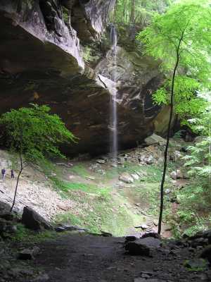
Kentucky's highest falls. (wet weather)