 NOAA weather near waypoint
or
wunderground
NOAA weather near waypoint
or
wunderground
| WGS84 | |
| 36.615500 | -84.572100 |
| 36° 36.93'N | 84° 34.326'W |
| 36° 36' 55.8"N | 84° 34' 19.6"W |
| 16S 717127E 4054965N | |
| convert to NAD27 | |
MAPS
Select one of the following maps to display this waypoint (WGS84).
NOAA weather near waypoint
or
wunderground
GPS
Remarks:
Reference: team Fife Off-trail. A couple of small arches south of Annie Branch arch along the same ridge line.

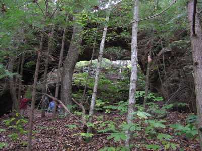
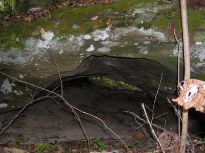 Branch Cross Arch (7x3), you can crawl
through this from the Annie Br. drainage to the Huling Br. drainage
Branch Cross Arch (7x3), you can crawl
through this from the Annie Br. drainage to the Huling Br. drainage
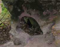 Troll seat
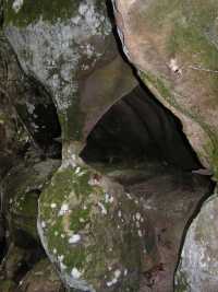 Hourglass