 NOAA weather near waypoint
or
wunderground
NOAA weather near waypoint
or
wunderground
| WGS84 | |
| 36.706560 | -84.363080 |
| 36° 42.394'N | 84° 21.785'W |
| 36° 42' 23.6"N | 84° 21' 47.1"W |
| 16S 735545E 4065562N | |
| convert to NAD27 | |
MAPS
Select one of the following maps to display this waypoint (WGS84).
NOAA weather near waypoint
or
wunderground
GPS
Remarks:
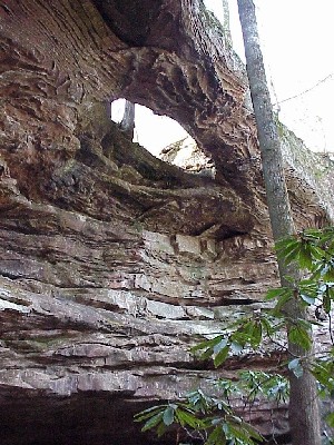
near the end of Alnola Farm Rd. photo from DBNF
or 36.6986,-84.3530 ??