 NOAA weather near waypoint
or
wunderground
NOAA weather near waypoint
or
wunderground
| WGS84 | |
| 36.501944 | -84.769722 |
| 36° 30.117'N | 84° 46.183'W |
| 36° 30' 7"N | 84° 46' 11"W |
| 16S 699743E 4041937N | |
| convert to NAD27 | |
MAPS
Select one of the following maps to display this waypoint (WGS84).
NOAA weather near waypoint
or
wunderground
GPS
Remarks:
Reference: Glenn and Susan Reider
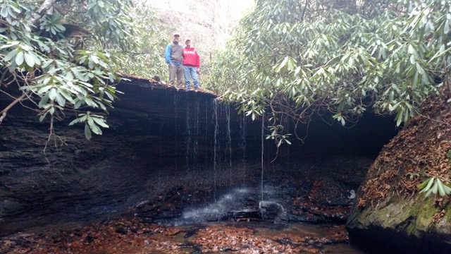 photo courtesy of Ken Pasternack