 NOAA weather near waypoint
or
wunderground
NOAA weather near waypoint
or
wunderground
| WGS84 | |
| 36.474570 | -84.842190 |
| 36° 28.474'N | 84° 50.531'W |
| 36° 28' 28.4"N | 84° 50' 31.9"W |
| 16S 693320E 4038752N | |
| convert to NAD27 | |
MAPS
Select one of the following maps to display this waypoint (WGS84).
NOAA weather near waypoint
or
wunderground
GPS
Remarks:
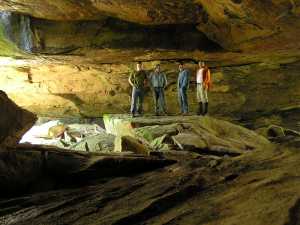
Reference: Bob Wheeley, Arthur McDade, Brad & Sue Neff
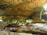
massive natural bridge that forms an incised meander on Laurel Fork on private land (inholding in BSF). north opening is 73'. off-trail.
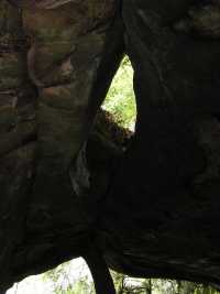 skylight
Following photos courtesy Brad & Sue Neff
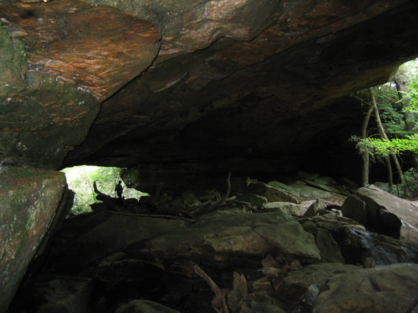
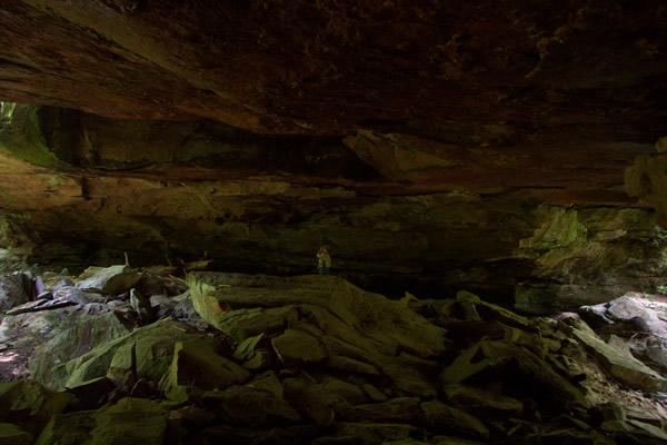
Chuck Sutherland's HDR photo