Appalachian Trail Shelters| WGS84 |
| 38.44409 | -78.47041 |
| 38° 26.645'N | 78° 28.225'W |
| 38° 26' 38.7"N | 78° 28' 13.5"W |
| 17S 720762E 4258121N |
| convert to NAD27 |
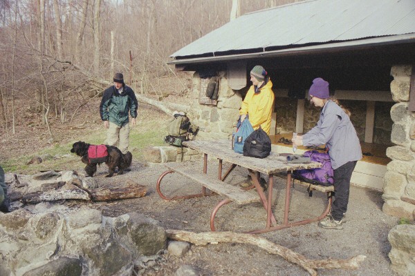
Bearfence Mountain Hut 
Waypoint: Bearfence 38.44409,-78.47041
County/State: Greene VA
Elevation: 3110' or USGS elevation
919.1 miles from Springer and 1278.3 miles to Katahdin
next shelter south ↓ 12.4 miles. next shelter north ↑ 11.5 miles. all shelters
popup list of
nearby shelters (mileage, bearing) (as the crow flies)
 NOAA weather near shelter
or
wunderground
NOAA weather near shelter
or
wunderground
MAPS
Select one of the following maps to display this waypoint (WGS84).

GPS
These maps, coordinates, and waypoint files are based on recent (2009)
Appalachian Trail
waypoints.
You can often find more information on a particular
shelter by visiting the AT
partners that maintains that section of trail.
For trail mileages between shelters go back to our
list of shelters.
AppalachianTrail.org has
the latest trail conditions, maps, and trail guides.
Additional information:
Notes: Spring 50 ft to right of hut is often dry by late summer; hut is for use of long
USGS quad: FLETCHER
Δ elevation profile to next shelter north, cumulative climb/descent, (data provenance)
photo
AT shelters
GSMNP campsites
GSMNP landforms
BSF landforms
TN landforms
 ©
Tom Dunigan TNlandforms.US
©
Tom Dunigan TNlandforms.US