Tennessee lookout towers | WGS84 |
| 35.2868 | -87.6036 |
| 35° 17.208'N | 87° 36.216'W |
| 35° 17' 12.5"N | 87° 36' 13"W |
| 16S 445113E 3905016N |
| convert to NAD27 |
Ovilla
Waypoint: WYT005 35.2868,-87.6036
County: Wayne
Elevation: 1057'
Info: 7-22 removed
popup list of
nearby towers (mileage, bearing)
or
nearby landforms
MAPS
Select one of the following maps to display this waypoint (WGS84).
GPS
Remarks:
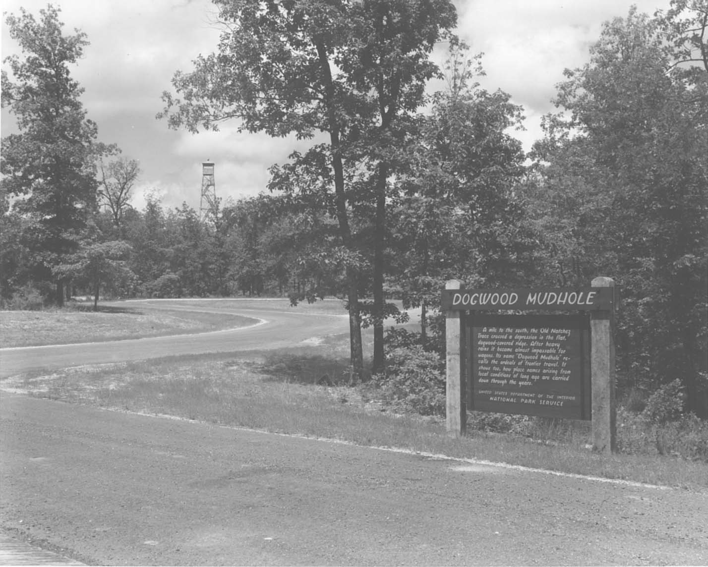
1955 photo
Tennessee lookout towers

BSF landforms (TN/KY)
GSMNP landforms (TN/NC)
Tennessee landforms
home
arches
waterfalls
rocks
peaks
balds
sinks
lakes
regions
county
 ©
Tom Dunigan
©
Tom Dunigan