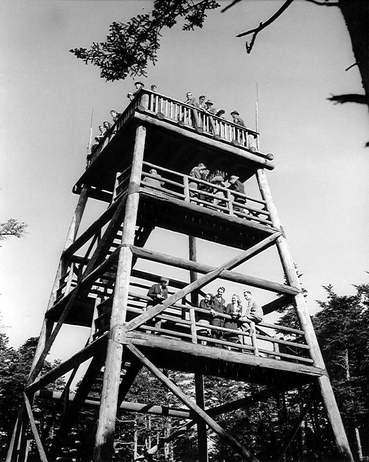
 1930 photo from NPS archives courtesy of Peter Barr
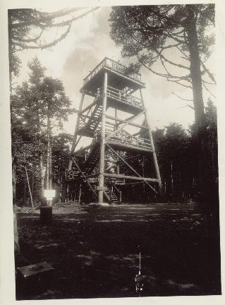
| WGS84 | |
| 35.563 | -83.4983 |
| 35° 33.78'N | 83° 29.898'W |
| 35° 33' 46.8"N | 83° 29' 53.9"W |
| 17S 273575E 3938353N | |
| convert to NAD27 | |
MAPS
Select one of the following maps to display this waypoint (WGS84).
GPS
Remarks:
An obersvation tower now and weather station, see Dutch Roth's 1929 black & white surveyor's tower. or 1940 photo
1930 photo from NPS archives courtesy of Peter Barr
State high point and county high point.
In 1863, the confederates constructed an observation post on Clingmans Dome.