| WGS84 | |
| 35.49969 | -83.62099 |
| 35° 29.981'N | 83° 37.259'W |
| 35° 29' 58.9"N | 83° 37' 15.5"W |
| 17S 262265E 3931619N | |
| convert to NAD27 | |
MAPS
Select one of the following maps to display this waypoint (WGS84).
GPS
Remarks:
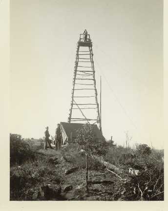
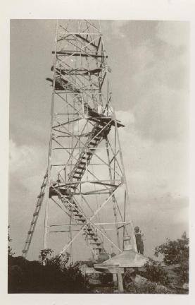
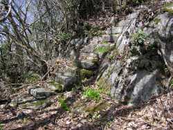
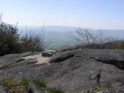
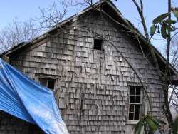
The steps, the footings, and the old ranger cabin still remain (in disrepair), but the tower was removed in the late 1980s. See George Ellison article
Below the evolution of towers at High Rocks from
1930 photos from NPS archives courtesy of Peter Barr