Tennessee lookout towers | WGS84 |
| 35.1304 | -85.4278 |
| 35° 7.824'N | 85° 25.668'W |
| 35° 7' 49.4"N | 85° 25' 40.1"W |
| 16S 643244E 3888635N |
| convert to NAD27 |
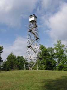
Prentice Cooper
Waypoint: MIT004 35.1304,-85.4278
County: Marion
Elevation: 1919'
Info: 3-26 standing
popup list of
nearby towers (mileage, bearing)
or
nearby landforms
MAPS
Select one of the following maps to display this waypoint (WGS84).
GPS
Remarks:
 and
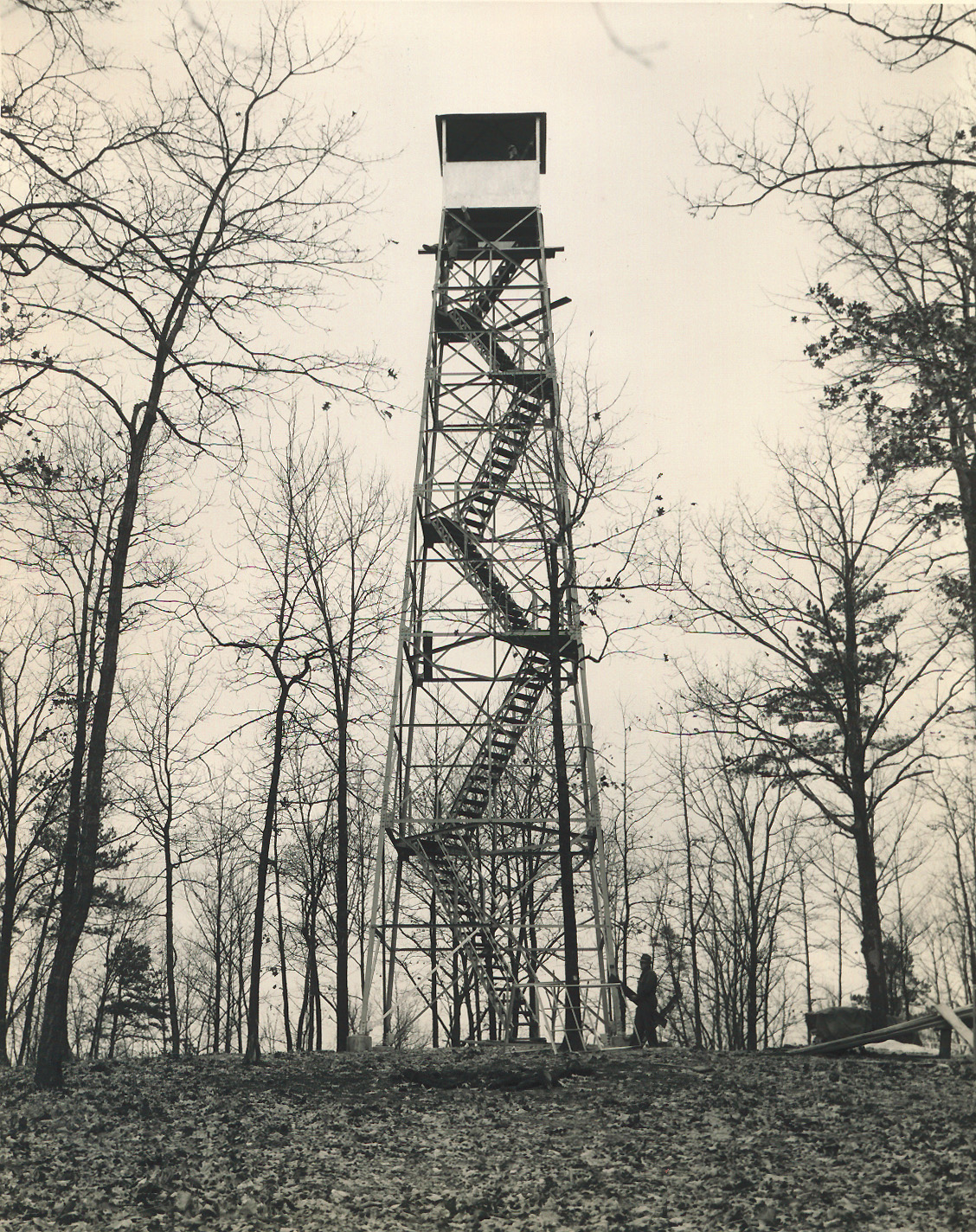
1948 photo of construction and
tower
and
1948 photo of construction and
tower
Tennessee lookout towers

BSF landforms (TN/KY)
GSMNP landforms (TN/NC)
Tennessee landforms
home
arches
waterfalls
rocks
peaks
balds
sinks
lakes
regions
county
 ©
Tom Dunigan
©
Tom Dunigan