| WGS84 | |
| 36.2618 | -81.9515 |
| 36° 15.708'N | 81° 57.09'W |
| 36° 15' 42.5"N | 81° 57' 5.4"W |
| 17S 414527E 4013406N | |
| convert to NAD27 | |
MAPS
Select one of the following maps to display this waypoint (WGS84).
GPS
Remarks:
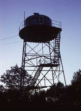
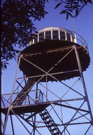
Below are some 1971 phots of Buck Ridge tower. Round cabin is like the one at Camp Creek Bald. NGS datasheet FZ2143 Peter Barr reports (12/15/14) that the lowest superstructure is still standing.