Tennessee lookout towers | WGS84 |
| 35.93119 | -87.3031 |
| 35° 55.871'N | 87° 18.186'W |
| 35° 55' 52.3"N | 87° 18' 11.2"W |
| 16S 472659E 3976360N |
| convert to NAD27 |
Bon Aqua
Waypoint: HIT001 35.93119,-87.3031
County: Hickman
Elevation: 994'
Info: FD1525 7-8 standing ?
popup list of
nearby towers (mileage, bearing)
or
nearby landforms
MAPS
Select one of the following maps to display this waypoint (WGS84).
GPS
Remarks:
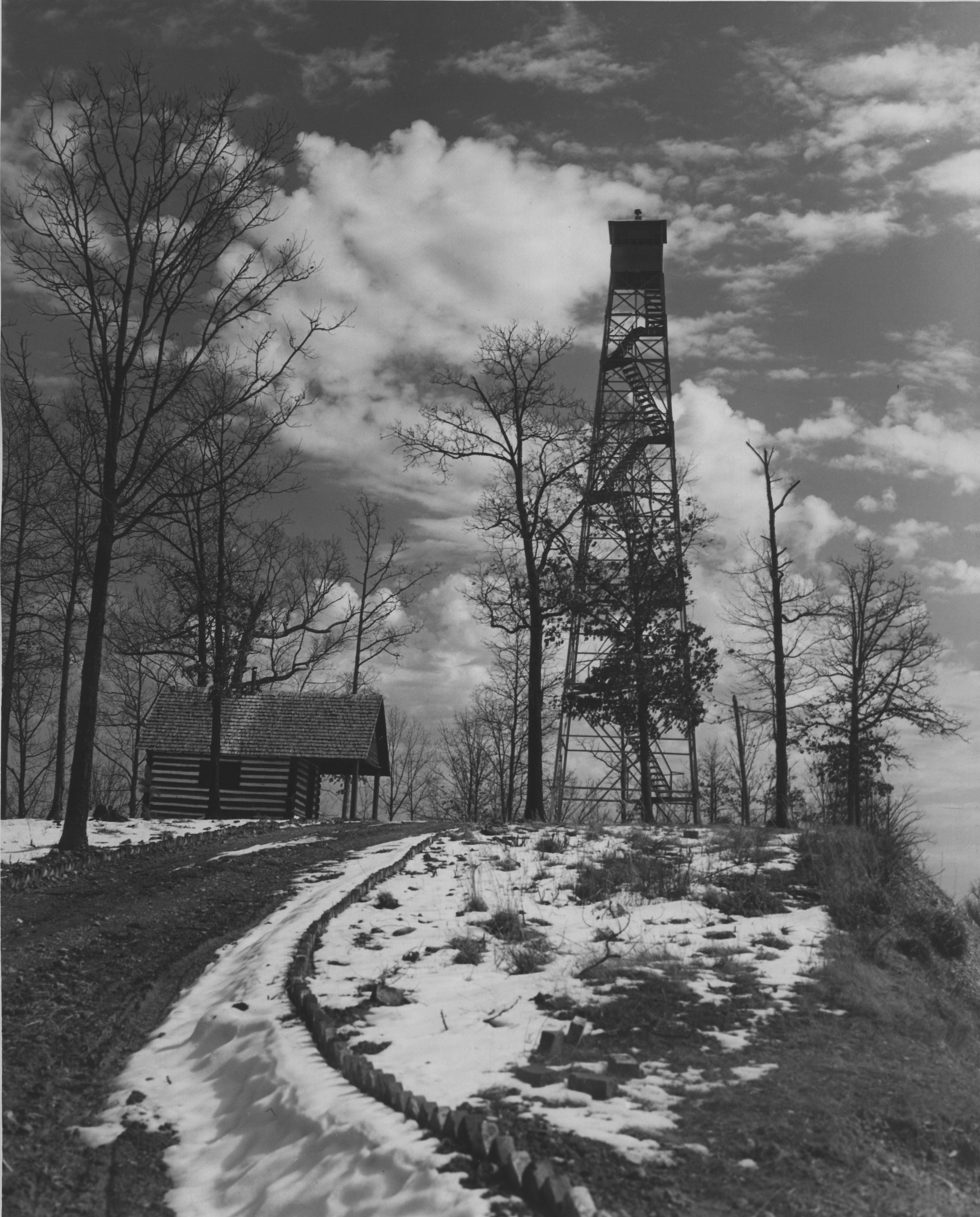
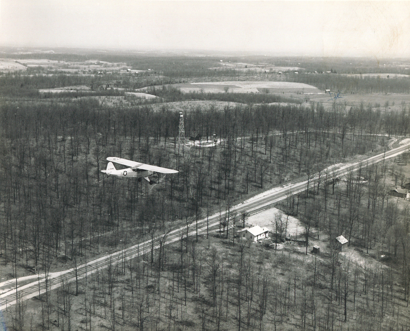
photo
and
1946 photo
and 1950 photo
county high point
Tennessee lookout towers

BSF landforms (TN/KY)
GSMNP landforms (TN/NC)
Tennessee landforms
home
arches
waterfalls
rocks
peaks
balds
sinks
lakes
regions
county
 ©
Tom Dunigan
©
Tom Dunigan