Tennessee lookout towers | WGS84 |
| 35.90511 | -84.98327 |
| 35° 54.307'N | 84° 58.996'W |
| 35° 54' 18.4"N | 84° 58' 59.8"W |
| 16S 681992E 3975303N |
| convert to NAD27 |
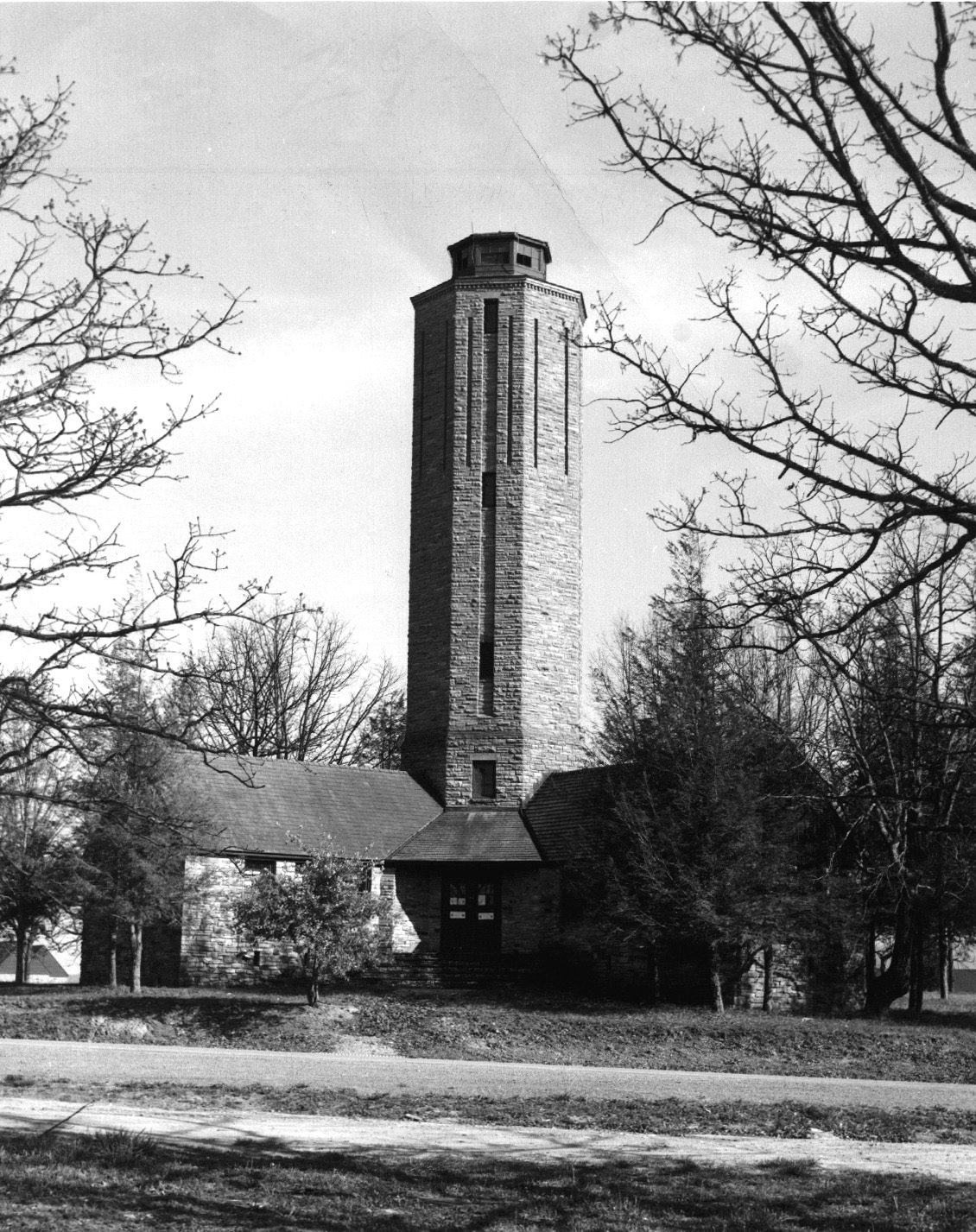
Homestead
Waypoint: CUT004 35.90511,-84.98327
County: Cumberland
Elevation: 1842'
Info: standing
popup list of
nearby towers (mileage, bearing)
or
nearby landforms
MAPS
Select one of the following maps to display this waypoint (WGS84).
GPS
Remarks:
Homestead
observation tower,
photo and
old photo
Tennessee lookout towers

BSF landforms (TN/KY)
GSMNP landforms (TN/NC)
Tennessee landforms
home
arches
waterfalls
rocks
peaks
balds
sinks
lakes
regions
county
 ©
Tom Dunigan
©
Tom Dunigan