Tennessee lookout towers | WGS84 |
| 36.014 | -84.9373 |
| 36° 0.84'N | 84° 56.238'W |
| 36° 0' 50.4"N | 84° 56' 14.3"W |
| 16S 685886E 3987469N |
| convert to NAD27 |
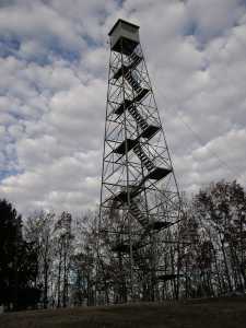
Pilot Knob
Waypoint: CUT003 36.014,-84.9373
County: Cumberland
Elevation: 2021'
Info: 4-7 standing
popup list of
nearby towers (mileage, bearing)
or
nearby landforms
MAPS
Select one of the following maps to display this waypoint (WGS84).
GPS
Remarks:
 and
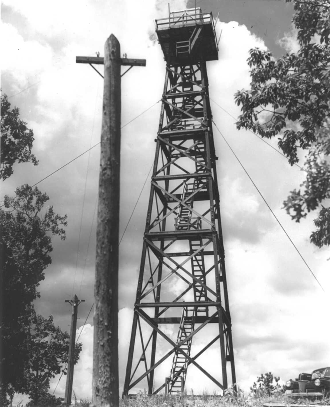
1942 photo
and
1942 photo
aka, Peavine firetower
Tennessee lookout towers

BSF landforms (TN/KY)
GSMNP landforms (TN/NC)
Tennessee landforms
home
arches
waterfalls
rocks
peaks
balds
sinks
lakes
regions
county
 ©
Tom Dunigan
©
Tom Dunigan