Tennessee lookout towers | WGS84 |
| 35.37489 | -88.8306 |
| 35° 22.493'N | 88° 49.836'W |
| 35° 22' 29.6"N | 88° 49' 50.2"W |
| 16S 333711E 3916158N |
| convert to NAD27 |
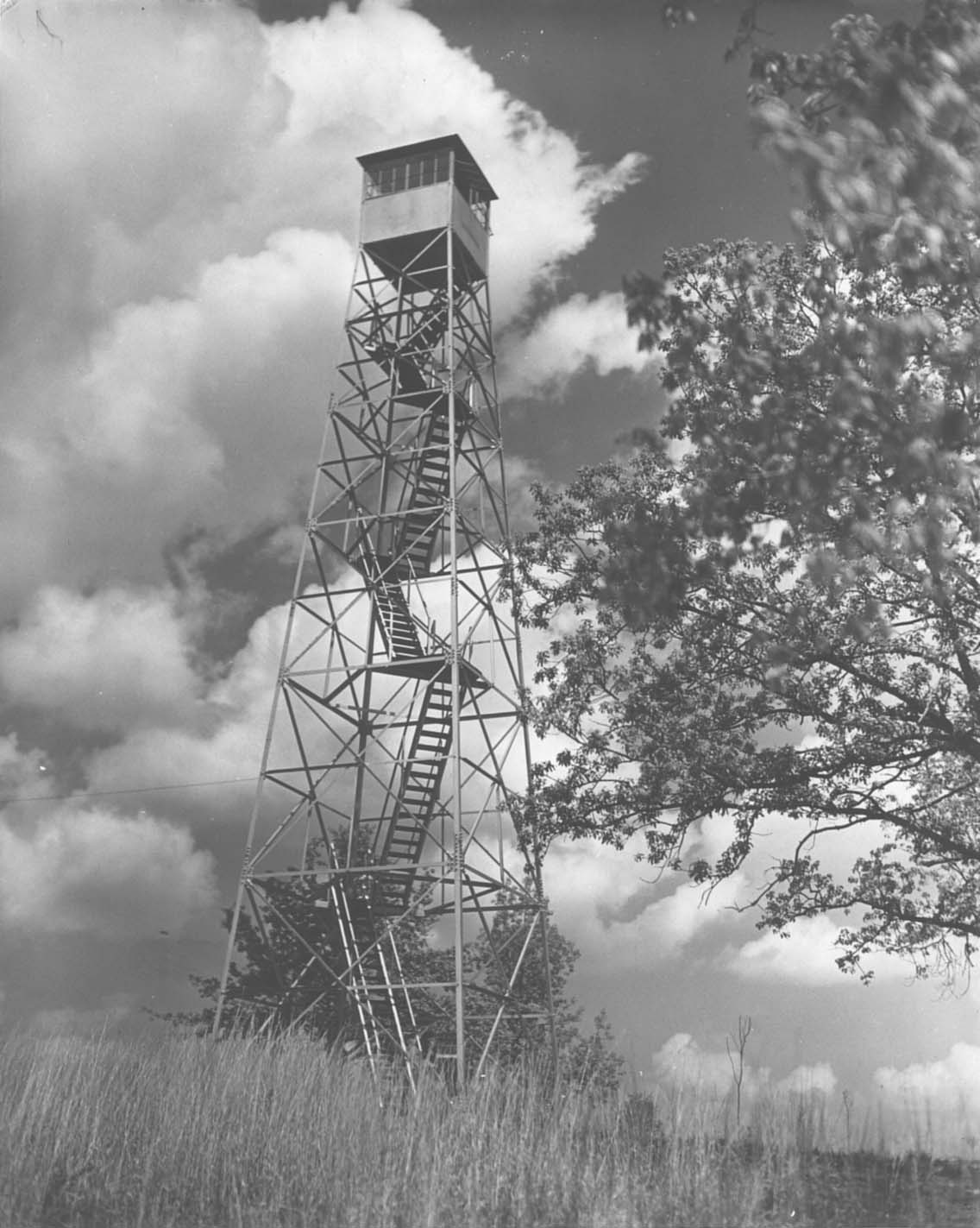
Chickasaw
Waypoint: CST002 35.37489,-88.8306
County: Chester
Elevation: 643'
Info: 8-16 standing
popup list of
nearby towers (mileage, bearing)
or
nearby landforms
MAPS
Select one of the following maps to display this waypoint (WGS84).
GPS
Remarks:
1938 photo
Tennessee lookout towers

BSF landforms (TN/KY)
GSMNP landforms (TN/NC)
Tennessee landforms
home
arches
waterfalls
rocks
peaks
balds
sinks
lakes
regions
county
 ©
Tom Dunigan
©
Tom Dunigan