| WGS84 | |
| 35.90106 | -83.29796 |
| 35° 54.064'N | 83° 17.878'W |
| 35° 54' 3.8"N | 83° 17' 52.7"W |
| 17S 292614E 3975415N | |
| convert to NAD27 | |
MAPS
Select one of the following maps to display this waypoint (WGS84).
GPS
Remarks:
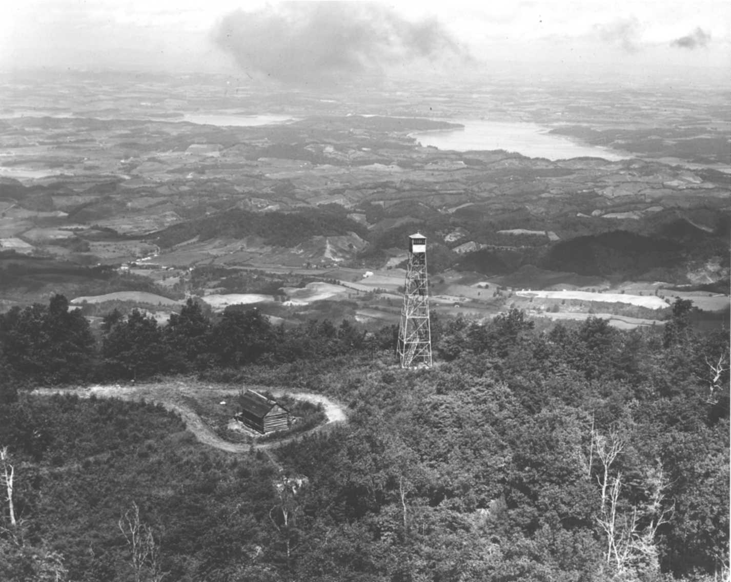
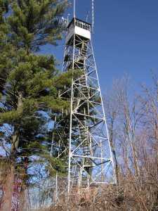
1948 photo and current weather at the tower
NHLR info
English Mountain history and geology and English Mountain history and Dutch Roth photo of rock spire