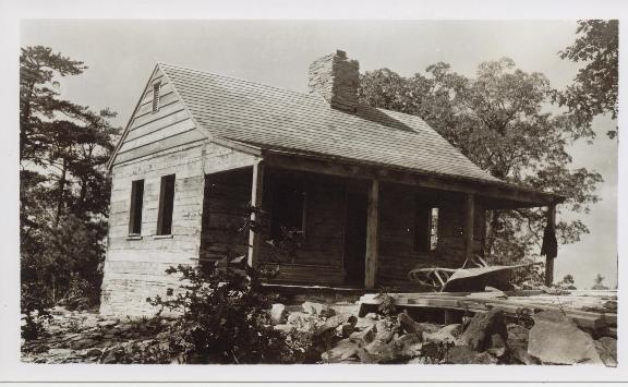
Dutch Roth photo 1951
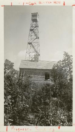
1930 photos from NPS archives courtesy of Peter Barr
| WGS84 | |
| 35.5323 | -83.9362 |
| 35° 31.938'N | 83° 56.172'W |
| 35° 31' 56.3"N | 83° 56' 10.3"W |
| 17S 233775E 3936042N | |
| convert to NAD27 | |
MAPS
Select one of the following maps to display this waypoint (WGS84).
GPS
Remarks:
Dutch Roth
photo 1951
1930 photos from NPS archives courtesy of Peter Barr