TN water access| WGS84 |
| 36.296220 | -87.205130 |
| 36° 17.773'N | 87° 12.308'W |
| 36° 17' 46.4"N | 87° 12' 18.5"W |
| 16S 481581E 4016824N |
| convert to NAD27 |
CHT002
Waypoint: CHT002 36.296220,-87.205130
Lake: cheatham
popup list of
nearby accesses (mileage, bearing)
or
nearby landforms
NOAA weather at ramp
MAPS
Select one of the following maps to display this waypoint (WGS84).
GPS
Remarks:
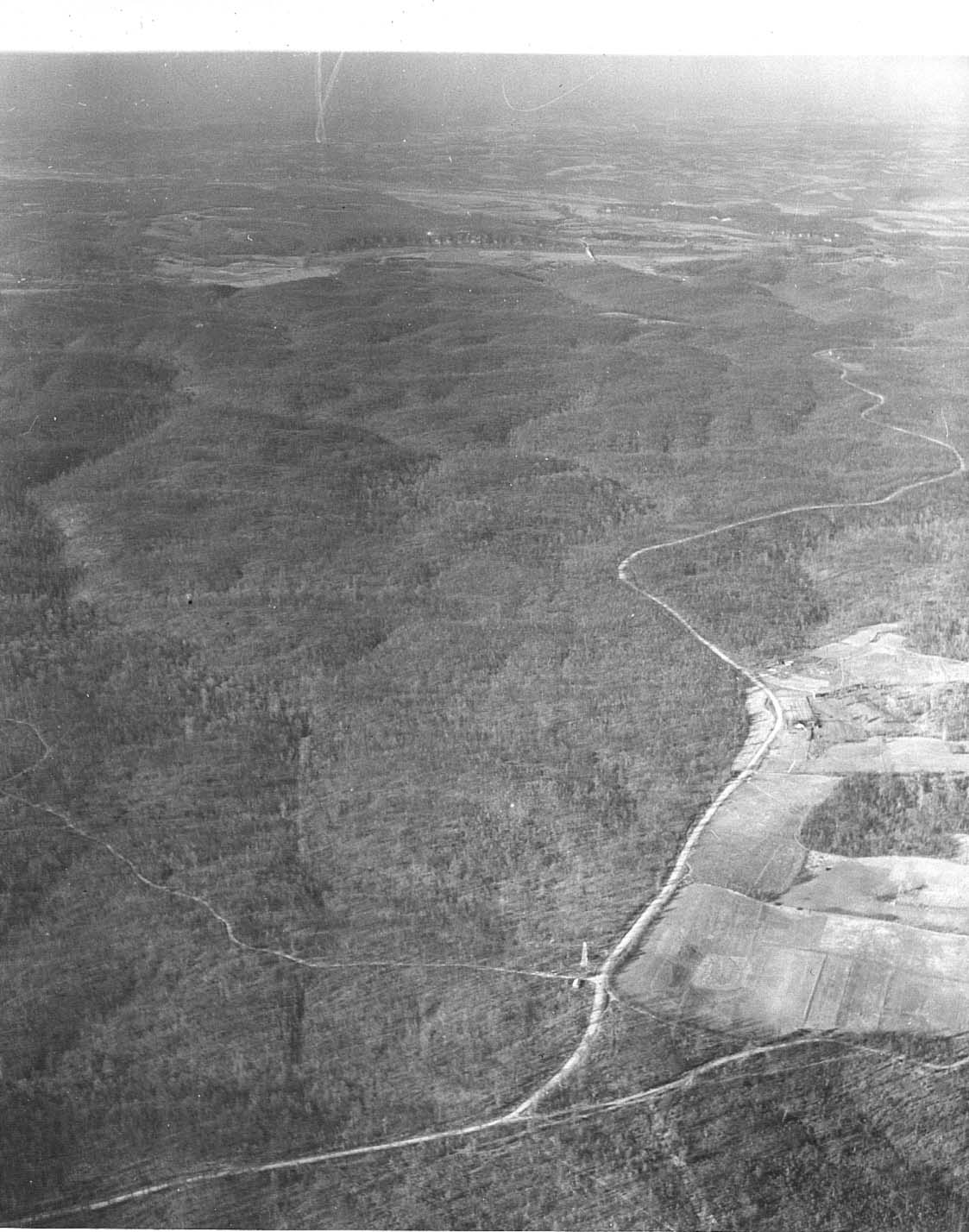
1939 photo
TN lake acesses
BSF landforms (TN/KY)
GSMNP landforms (TN/NC)
Tennessee landforms
home
arches
waterfalls
rocks
peaks
balds
sinks
lakes
county
 ©
Tom Dunigan
©
Tom Dunigan