Tennessee Landforms -- waterfalls| WGS84 |
| 36.099900 | -82.590200 |
| 36° 5.994'N | 82° 35.412'W |
| 36° 5' 59.6"N | 82° 35' 24.7"W |
| 17S 356854E 3996199N |
| convert to NAD27 |
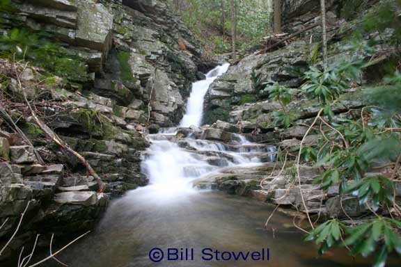
S. Fork Painter Cr Falls 15'
Waypoint: WSF005 36.099900,-82.590200
County: Washington landforms of Washington county
Locale: Cherokee National Forest
popup list of
nearby landforms (mileage, bearing)
MAPS
Select one of the following maps to display this waypoint (WGS84).
GPS
Remarks:
photo and reference: Bill Stowell
Tennessee landforms
home
arches
waterfalls
rocks
peaks
balds
sinks
lakes
regions
county
GSMNP landforms (TN/NC)
BSF landforms (TN/KY)
or nearby
lookout towers
 ©
Tom Dunigan
©
Tom Dunigan