Tennessee Landforms -- waterfalls| WGS84 |
| 35.814946 | -85.640828 |
| 35° 48.897'N | 85° 38.45'W |
| 35° 48' 53.8"N | 85° 38' 27"W |
| 16S 622788E 3964276N |
| convert to NAD27 |
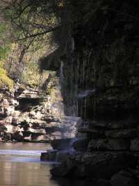
Badger Falls 30'
Waypoint: WAF007 35.814946,-85.640828
County: Warren landforms of Warren county
Locale: state park
popup list of
nearby landforms (mileage, bearing)
MAPS
Select one of the following maps to display this waypoint (WGS84).
GPS
Remarks:
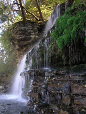
A little further upstream another small leak from the Collins River.
Tennessee landforms
home
arches
waterfalls
rocks
peaks
balds
sinks
lakes
regions
county
GSMNP landforms (TN/NC)
BSF landforms (TN/KY)
or nearby
lookout towers
 ©
Tom Dunigan
©
Tom Dunigan