Tennessee Landforms -- waterfalls| WGS84 |
| 35.702010 | -85.451950 |
| 35° 42.121'N | 85° 27.117'W |
| 35° 42' 7.3"N | 85° 27' 7"W |
| 16S 640051E 3952002N |
| convert to NAD27 |
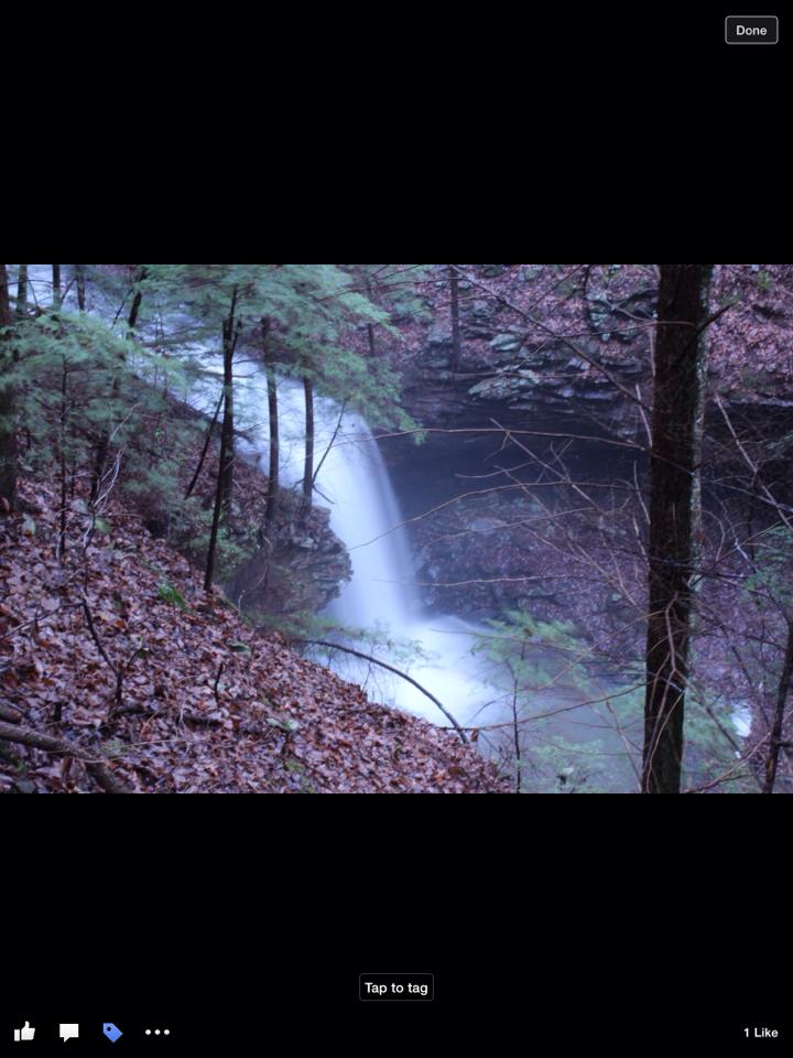
Pilot Falls 25'
Waypoint: VBF013 35.702010,-85.451950
County: VanBuren landforms of VanBuren county
Locale: private
popup list of
nearby landforms (mileage, bearing)
MAPS
Select one of the following maps to display this waypoint (WGS84).
GPS
Remarks:
Reference and photo: Robert Benedict
Tennessee landforms
home
arches
waterfalls
rocks
peaks
balds
sinks
lakes
regions
county
GSMNP landforms (TN/NC)
BSF landforms (TN/KY)
or nearby
lookout towers
 ©
Tom Dunigan
©
Tom Dunigan