 Photo by Gregory Plumb, Author of
Waterfalls of Tennessee
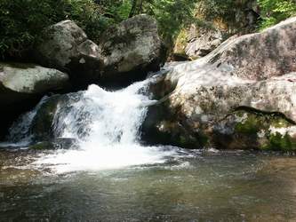
Photo by Gregory Plumb, Author of
Waterfalls of Tennessee
| WGS84 | |
| 36.042740 | -82.554640 |
| 36° 2.564'N | 82° 33.278'W |
| 36° 2' 33.8"N | 82° 33' 16.7"W |
| 17S 359954E 3989807N | |
| convert to NAD27 | |
MAPS
Select one of the following maps to display this waypoint (WGS84).
GPS
Remarks:
Reference Bill & Craig:
Photo by Gregory Plumb, Author of
Waterfalls of Tennessee
See Bill's photo