| WGS84 | |
| 36.143000 | -82.459100 |
| 36° 8.58'N | 82° 27.546'W |
| 36° 8' 34.8"N | 82° 27' 32.8"W |
| 17S 368728E 4000795N | |
| convert to NAD27 | |
MAPS
Select one of the following maps to display this waypoint (WGS84).
GPS
Remarks:
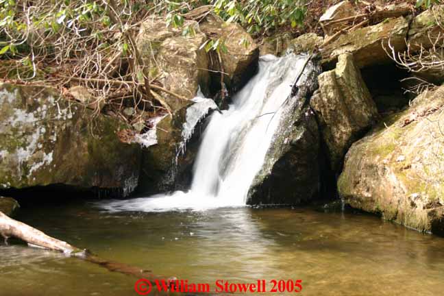
off-trail. A couple more falls on California Creek Cody Falls and Lower Falls
Coordinates & photo courtesy of Bill & Craig.
Dave Aldridge reports 3 more falls further upstream at 36.14049,-82.46145 (7'), and 36.14249,-82.45967 (12'), and 36.44270,-82.45948 (10').