Tennessee Landforms -- waterfalls| WGS84 |
| 36.137700 | -82.505400 |
| 36° 8.262'N | 82° 30.324'W |
| 36° 8' 15.7"N | 82° 30' 19.4"W |
| 17S 364553E 4000271N |
| convert to NAD27 |
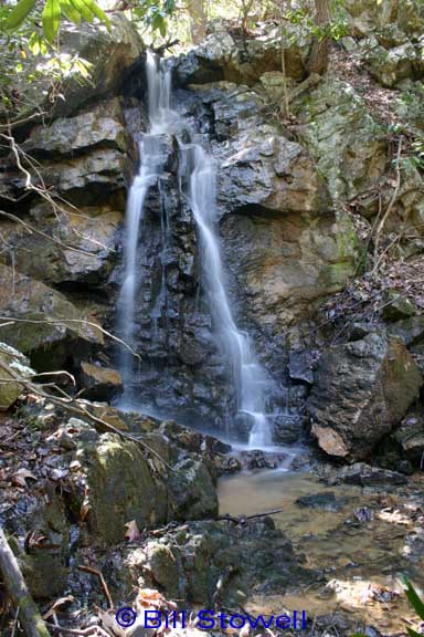
E. Simmons Branch Falls 15'
Waypoint: UCF013 36.137700,-82.505400
County: Unicoi landforms of Unicoi county
Locale: private
popup list of
nearby landforms (mileage, bearing)
MAPS
Select one of the following maps to display this waypoint (WGS84).
GPS
Remarks:
Reference & photo: Bill Stowell
Tennessee landforms
home
arches
waterfalls
rocks
peaks
balds
sinks
lakes
regions
county
GSMNP landforms (TN/NC)
BSF landforms (TN/KY)
or nearby
lookout towers
 ©
Tom Dunigan
©
Tom Dunigan