| WGS84 | |
| 36.152600 | -82.443400 |
| 36° 9.156'N | 82° 26.604'W |
| 36° 9' 9.4"N | 82° 26' 36.2"W |
| 17S 370157E 4001839N | |
| convert to NAD27 | |
MAPS
Select one of the following maps to display this waypoint (WGS84).
GPS
Remarks:
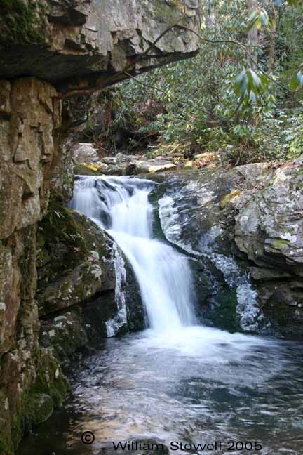
off-trail. The older USGS topo maps label the creek with the falls, Broad Shoal Creek, but on later topo's it is called California Creek... go figure. A couple of more falls upstream Cody Falls and Upper Falls
Coordinates & photo courtesy of Bill & Craig.