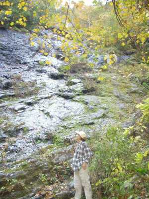
 Merely a wet wall in the fall.
| WGS84 | |
| 36.087380 | -82.575530 |
| 36° 5.243'N | 82° 34.532'W |
| 36° 5' 14.6"N | 82° 34' 31.9"W |
| 17S 358153E 3994789N | |
| convert to NAD27 | |
MAPS
Select one of the following maps to display this waypoint (WGS84).
GPS
Remarks:
Part cliff and part cascade, not easily reached or viewed. The base of the wall is at 3100', about 0.3 miles up the south fork of Clark Creek (460' climb).
Merely a wet wall in the fall.
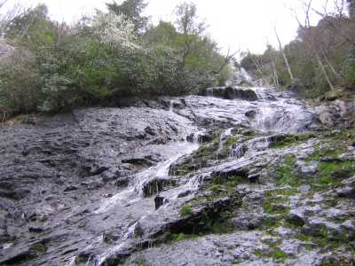
Here is a spring picture submitted by Chad Ricker and Jason Austin.
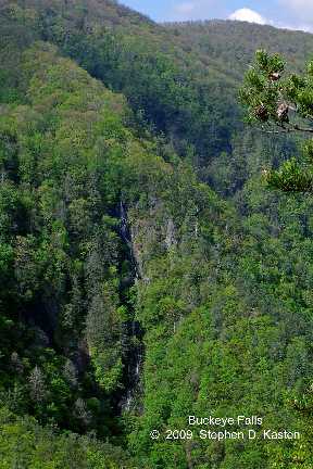 Steve Kasten's photo from Chigger Ridge
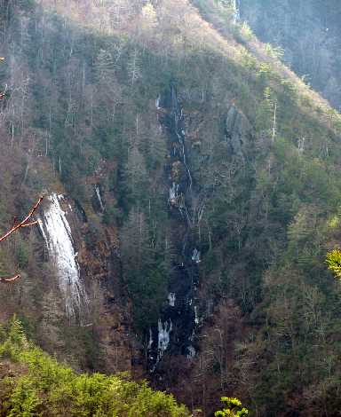 Randy Tarpley's photos