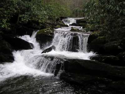
lower Lynn Camp Falls
| WGS84 | |
| 35.616130 | -83.661400 |
| 35° 36.968'N | 83° 39.684'W |
| 35° 36' 58.1"N | 83° 39' 41"W |
| 17S 258949E 3944635N | |
| convert to NAD27 | |
MAPS
Select one of the following maps to display this waypoint (WGS84).
GPS
Remarks:
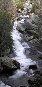
Lynn Camp Falls is a series of step falls, a bit further downstream, Lower Lynn Camp Falls slides down a groove.
lower Lynn Camp Falls