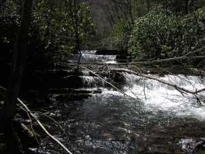
 feeder cascade from Coon Hollow
| WGS84 | |
| 35.612400 | -83.548400 |
| 35° 36.744'N | 83° 32.904'W |
| 35° 36' 44.6"N | 83° 32' 54.2"W |
| 17S 269175E 3943950N | |
| convert to NAD27 | |
MAPS
Select one of the following maps to display this waypoint (WGS84).
GPS
Remarks:
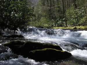
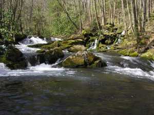
numerous cascades and ledge falls along quarter-mile stretch of Goshen Prong trail.
feeder cascade from Coon Hollow