Tennessee Landforms -- waterfalls| WGS84 |
| 36.427710 | -84.644367 |
| 36° 25.663'N | 84° 38.662'W |
| 36° 25' 39.8"N | 84° 38' 39.7"W |
| 16S 711173E 4033968N |
| convert to NAD27 |
Honey Creek Slide 45'
Waypoint: SCF033 36.427710,-84.644367
County: Scott landforms of Scott county
Locale: Big South Fork
popup list of
nearby landforms (mileage, bearing)
MAPS
Select one of the following maps to display this waypoint (WGS84).
GPS
Remarks:
Reference and photo: Chad Harrold
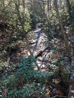 wet-weather
Tennessee landforms
home
arches
waterfalls
rocks
peaks
balds
sinks
lakes
regions
county
GSMNP landforms (TN/NC)
BSF landforms (TN/KY)
or nearby
lookout towers
 ©
Tom Dunigan
©
Tom Dunigan