Tennessee Landforms -- arches and natural bridges| WGS84 |
| 36.579927 | -84.668380 |
| 36° 34.796'N | 84° 40.103'W |
| 36° 34' 47.8"N | 84° 40' 6.2"W |
| 16S 708611E 4050804N |
| Location uncertain. |
| convert to NAD27 |
Betty Br Complex?
Waypoint: SCA067 36.579927,-84.668380
County: Scott landforms of Scott county
Locale: Big South Fork
NABSQNO 16S-7086XX-40508XX
popup list of
nearby landforms (mileage, bearing)
MAPS
Select one of the following maps to display this waypoint (WGS84).
GPS
Remarks:
Reference and photos: Fife brothers
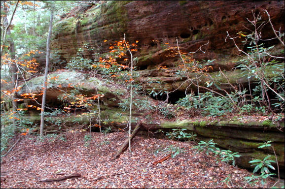
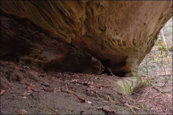
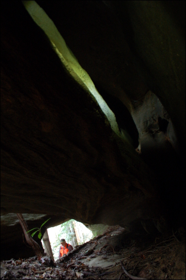
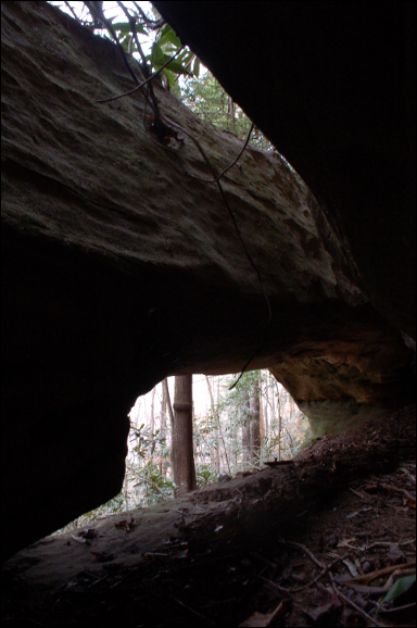
Two main openings one right behind the other,
both measuring about 19'. multiple openings behind the back arch
Tennessee landforms
home
arches
waterfalls
rocks
peaks
balds
sinks
lakes
regions
county
GSMNP landforms (TN/NC)
BSF landforms (TN/KY)
or nearby
lookout towers
 ©
Tom Dunigan
©
Tom Dunigan