Tennessee Landforms -- waterfalls| WGS84 |
| 35.685979 | -84.935427 |
| 35° 41.159'N | 84° 56.126'W |
| 35° 41' 9.5"N | 84° 56' 7.6"W |
| 16S 686823E 3951084N |
| convert to NAD27 |
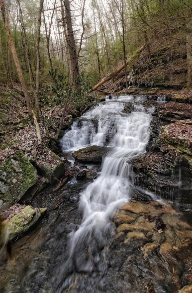
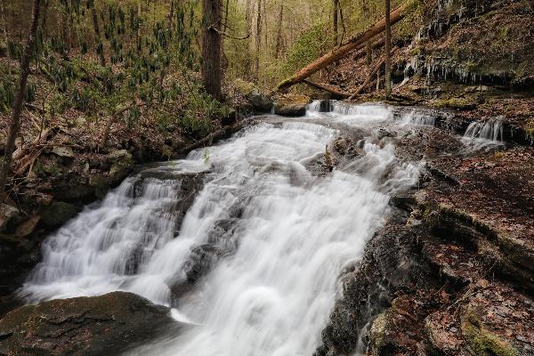
Bearpen Br Falls 30'
Waypoint: RHF033 35.685979,-84.935427
County: Rhea landforms of Rhea county
Locale: CT
popup list of
nearby landforms (mileage, bearing)
MAPS
Select one of the following maps to display this waypoint (WGS84).
GPS
Remarks:
Reference and photos: Brian Solomon
Tennessee landforms
home
arches
waterfalls
rocks
peaks
balds
sinks
lakes
regions
county
GSMNP landforms (TN/NC)
BSF landforms (TN/KY)
or nearby
lookout towers
 ©
Tom Dunigan
©
Tom Dunigan