Tennessee Landforms -- waterfalls| WGS84 |
| 35.464318 | -85.102942 |
| 35° 27.859'N | 85° 6.177'W |
| 35° 27' 51.5"N | 85° 6' 10.6"W |
| 16S 672136E 3926190N |
| convert to NAD27 |
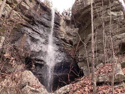
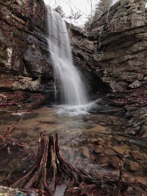
Wildcat Hollow Falls 30'
Waypoint: RHF027 35.464318,-85.102942
County: Rhea landforms of Rhea county
Locale: CT
popup list of
nearby landforms (mileage, bearing)
MAPS
Select one of the following maps to display this waypoint (WGS84).
GPS
Remarks:
trail passes above this wet-weather falls.
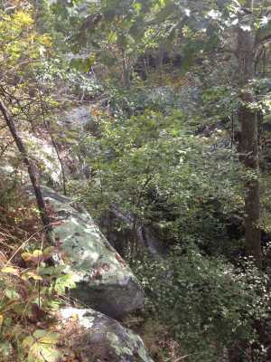
 courtesy Don Deakins
 courtesy Brian Solomon
Tennessee landforms
home
arches
waterfalls
rocks
peaks
balds
sinks
lakes
regions
county
GSMNP landforms (TN/NC)
BSF landforms (TN/KY)
or nearby
lookout towers
 ©
Tom Dunigan
©
Tom Dunigan