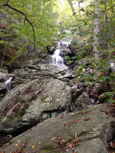
 main falls on upper trail
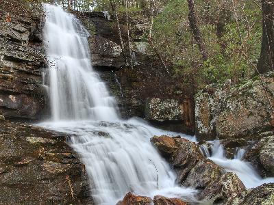 Brian Solomon photo
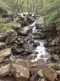 cascade at base, lower trail
| WGS84 | |
| 35.468576 | -85.107238 |
| 35° 28.115'N | 85° 6.434'W |
| 35° 28' 6.9"N | 85° 6' 26"W |
| 16S 671738E 3926655N | |
| convert to NAD27 | |
MAPS
Select one of the following maps to display this waypoint (WGS84).
GPS
Remarks:
main falls on upper trail
Brian Solomon photo
cascade at base, lower trail