Tennessee Landforms -- waterfalls| WGS84 |
| 35.475580 | -85.114140 |
| 35° 28.535'N | 85° 6.848'W |
| 35° 28' 32.1"N | 85° 6' 50.9"W |
| 16S 671096E 3927420N |
| convert to NAD27 |
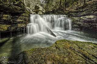
Polecat Falls (2) 10'
Waypoint: RHF018 35.475580,-85.114140
County: Rhea landforms of Rhea county
popup list of
nearby landforms (mileage, bearing)
MAPS
Select one of the following maps to display this waypoint (WGS84).
GPS
Remarks:
Reference and photo: Barry Cole
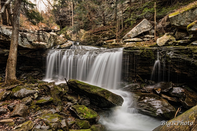 Upper falls 12', Ronnie Phipps photo, 35.476963, -85.113480
Chris Oliver
photo1
photo2
Tennessee landforms
home
arches
waterfalls
rocks
peaks
balds
sinks
lakes
regions
county
GSMNP landforms (TN/NC)
BSF landforms (TN/KY)
or nearby
lookout towers
 ©
Tom Dunigan
©
Tom Dunigan